Use of Drones for Environmental Monitoring
The use of drones for environmental monitoring has become increasingly popular in recent years due to their ability to capture high-quality aerial data in a cost-effective and efficient manner. From tracking wildlife populations to monitoring air and water quality, drones have the potential to transform environmental monitoring efforts. In this blog, we’ll explore the use of drones for environmental monitoring and their potential benefits.
Wildlife Tracking
Drones equipped with high-resolution cameras and thermal sensors can provide valuable data for wildlife tracking and conservation efforts. For example, drones can be used to monitor endangered species, track migration patterns, and detect illegal poaching activities. In addition to traditional cameras, drones can be equipped with multispectral and hyperspectral sensors that can detect differences in plant and animal health, providing insights into ecosystem health.
Disaster Response
Drones can also be valuable in disaster response efforts. After natural disasters such as hurricanes or wildfires, drones can be used to assess damage and monitor environmental conditions, helping first responders to prioritize their efforts. For example, drones equipped with thermal sensors can detect hotspots in wildfires, while multispectral sensors can detect areas of vegetation that are likely to ignite.
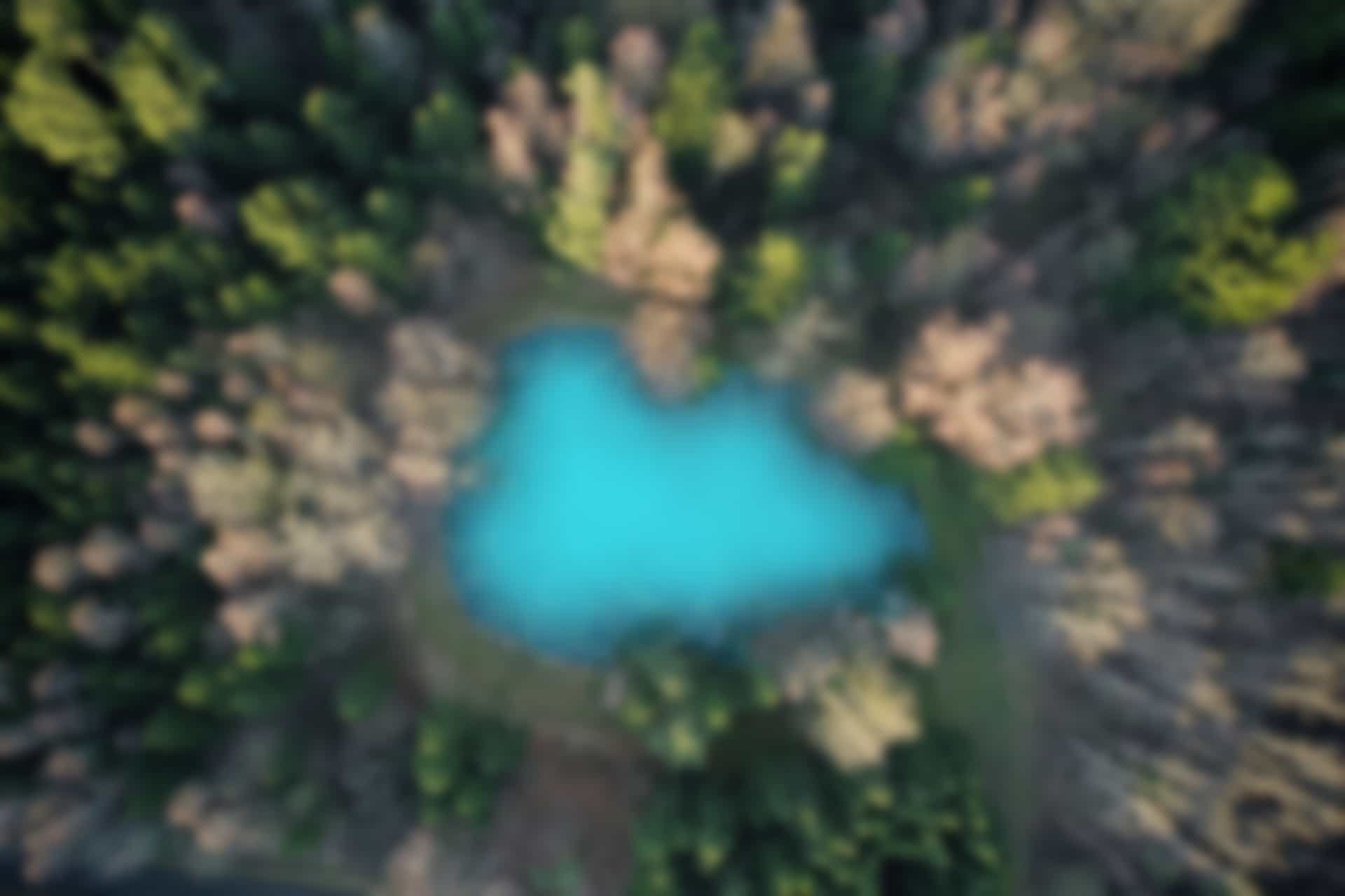
Air and Water Quality Monitoring
Drones can also be used for air and water quality monitoring. Sensors on drones can detect pollutants and harmful substances, providing real-time data on air and water quality. This information can be used to identify sources of pollution and inform policy decisions. For example, drones can be used to monitor water quality in lakes, rivers, and oceans, detecting harmful algal blooms or oil spills.
Mapping and Surveying
Drones can be used for mapping and surveying applications, providing detailed topographical data and 3D models of the environment. This data can be used for a variety of applications, such as planning infrastructure projects, assessing erosion, or tracking changes in land use.
Challenges and Considerations
While drones have the potential to revolutionize environmental monitoring efforts, there are also several challenges and considerations that must be taken into account. For example, drone flights must comply with regulations around airspace and privacy. Additionally, drones are limited in their flight time and range, requiring careful planning to ensure that the data collected is accurate and comprehensive.
Conclusion
In short, the use of drones for environmental monitoring has the potential to transform the way we understand and manage the natural world. From tracking wildlife populations to monitoring air and water quality, drones offer a cost-effective and efficient way to collect valuable data. As the technology continues to advance, we can expect to see even more innovative applications of drones in environmental monitoring and conservation efforts.